File:2019-20CoronavirusOutbreakAnimatedMap.gif
Jump to navigation
Jump to search

Size of this preview: 800 × 520 pixels. Other resolutions: 320 × 208 pixels | 1,513 × 983 pixels.
Original file (1,513 × 983 pixels, file size: 277 KB, MIME type: image/gif, looped, 101 frames, 35 s)
Note: Due to technical limitations, thumbnails of high resolution GIF images such as this one will not be animated.
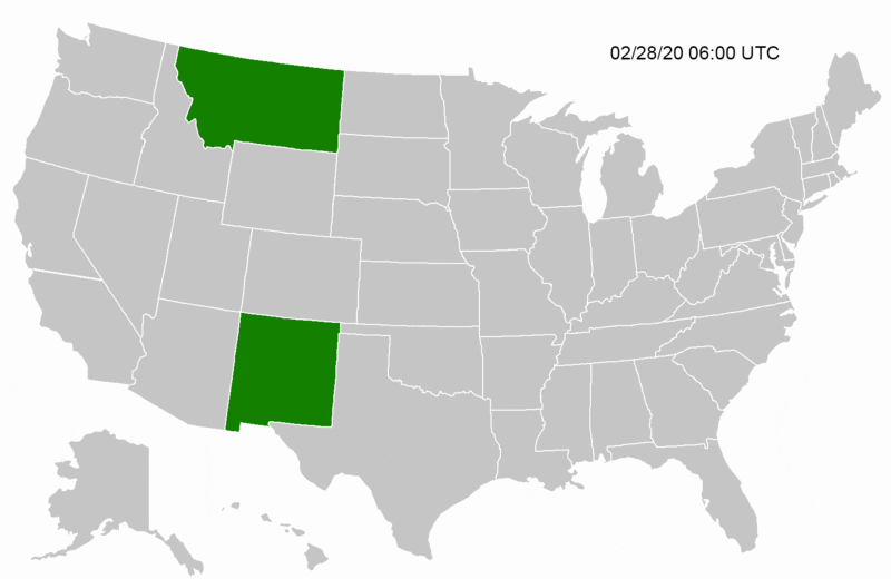
Summary
If changes need to be made, please let me know, as I can change orig files
Licensing
| This file does not have information about its copyright status. Due to the Scioly.org Wiki's CC-BY-SA 3.0 license, files must meet certain copyright standards in order to exist on the wiki. To the uploader: If you have any more information about the source of this file, please edit this page to include that information. A staff member will review this file soon and will help determine the copyright status of this file. If it does not comply with the wiki's copyright policy, the file may unfortunately have to be removed. If the file does meet the wiki's standards, the license for the file will be updated. If this copyright issue is not solved by June 01 2022, the file will be deleted. For staff - a step by step process for solving copyright issues:
|
File history
Click on a date/time to view the file as it appeared at that time.
| Date/Time | Thumbnail | Dimensions | User | Comment | |
|---|---|---|---|---|---|
| current | 08:52, 4 April 2020 | | 1,513 × 983 (277 KB) | Nydauron (talk | contribs) | Updated gif to reflect updated states and decremented interval to show more detail in map. (I will add stripes later but rn it's 4am here...) |
| 06:08, 17 March 2020 |  | 1,200 × 780 (1.33 MB) | Pepperonipi (talk | contribs) | Somehow Wyoming was accidentally shaded - got rid of this | |
| 06:04, 17 March 2020 |  | 1,200 × 780 (1.34 MB) | Pepperonipi (talk | contribs) | Added 3/13-3/16, inclusive | |
| 19:11, 13 March 2020 |  | 1,200 × 780 (1.08 MB) | Pepperonipi (talk | contribs) | If changes need to be made, please let me know, as I can change orig files |
You cannot overwrite this file.
File usage
The following 2 pages use this file: