The fault featured has a heave of 12 m and a throw of 10 m. There is a lamina of unobtainium along the shale-sandstone paraconformity. A mining company wants to dig a vertical shaft at the red dot to extract the unobtainium. Assuming the lamina is of negligible thickness (it is unobtainium after all ), how deep will the company have to dig to reach it?
PS: The paraconformity should be perpendicular to the black line, and the acute angle between the fault and the lamina is 75 degrees.
Re: GeoLogic Mapping C
Posted: March 19th, 2015, 2:59 pm
by elephantower
Nobody?
Re: GeoLogic Mapping C
Posted: March 29th, 2015, 5:03 pm
by finagle29
since the red dot is 40 m in the direction of the strike, wouldn't this just be [math]\frac{40\textrm{ m}}{x}=\frac{\textrm{heave}}{\textrm{throw}}\Rightarrowx=33.3\textrm{ m}?[/math]
Re: GeoLogic Mapping C
Posted: April 2nd, 2015, 11:27 pm
by elephantower
finagle29 wrote:
since the red dot is 40 m in the direction of the strike, wouldn't this just be [math]\frac{40\textrm{ m}}{x}=\frac{\textrm{heave}}{\textrm{throw}}\Rightarrowx=33.3\textrm{ m}?[/math]
No, sorry
You mistook the lamina for the fault line-- the fault is running north-south through the center of the page.
EDIT: Re-read your answer. You recognized that the line between the lamina and the dot is parallel to the strike line, but heave and throw are measured along the dip (the whole point of the strike line is that it's level). Try drawing out the contour structures of the bed and fault.
Re: GeoLogic Mapping C
Posted: April 4th, 2015, 10:25 am
by silentsage
Assuming I set up this diagram right the depth is about 10.648m[attachment=0]geomapping.png[/attachment]
Re: GeoLogic Mapping C
Posted: April 25th, 2015, 4:53 pm
by elephantower
silentsage wrote:
Assuming I set up this diagram right the depth is about 10.648m[attachment=0]geomapping.png[/attachment]
I believe that's correct. With SciOly season over early this year, I haven't been frequenting the forums as much, sorry
Your turn!
Re: GeoLogic Mapping C
Posted: April 26th, 2015, 3:53 pm
by silentsage
No problem at all, my season ended yesterday . I'm probably going to study geomapping all summer. Yay!
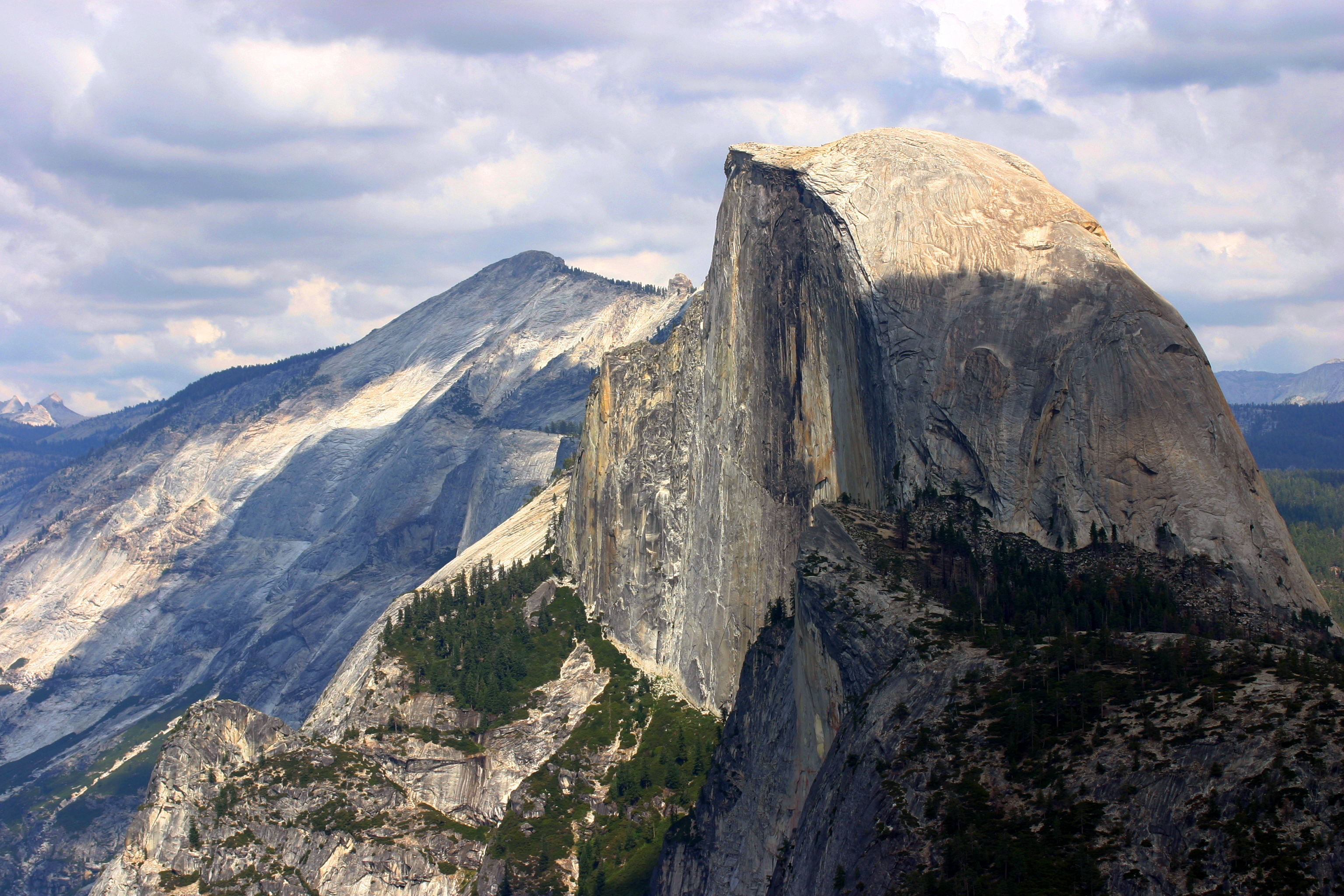
Anyway, here's the next question: What type of formations are El Capitan and Half-Dome in Yosemite (a single-word term), how did they form, and why are we able to see them now (think about the history of that area)? If you haven't heard of these, here are pictures:
Re: GeoLogic Mapping C
Posted: April 26th, 2015, 8:08 pm
by boomvroomshroom
silentsage wrote:No problem at all, my season ended yesterday . I'm probably going to study geomapping all summer. Yay!
Anyway, here's the next question: What type of formations are El Capitan and Half-Dome in Yosemite (a single-word term), how did they form, and why are we able to see them now (think about the history of that area)? If you haven't heard of these, here are pictures:
1. Plutons (wild guess - I have no idea what you're looking for exactly; sorry)
2. massive igneous intrusions that were then uplifted and eroded away to form their specific steep walls
3. Surrounding rock eroded away/area in general uplifted, exposing the rock
Re: GeoLogic Mapping C
Posted: April 26th, 2015, 10:13 pm
by Chris_L
1. Batholith 2. Igneous Intrusion that was uplifted. 3. Erosion from Merced River and other rivers in area caused gorge to form beneath Half Dome and El Cap, exposing the sides of these giant igneous intrustions.
Re: GeoLogic Mapping C
Posted: April 27th, 2015, 2:38 pm
by silentsage
Almost there, but I'll give it to you, Chris. Parts 1 and 2 are great, but the erosional process was glaciation--look at the shape of the valley.